Downloads
DOI:
https://doi.org/10.7480/spool.2018.2.2096Abstract
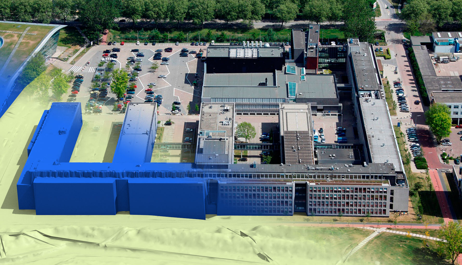
Different urban issues urgently request up-to-date, valid, accurate, suitable, error-free 3D data of the living environment. A dynamic, virtual copy of cities, landscape, and buildings enables to continuously monitor what is happening in reality and evaluate different scenarios through simulation. These simulations help address issues like flooding, noise pollution, air pollution, and urban heat islands. Methods are developed to reconstruct, validate, and disseminate virtual 3D models. The resulting methods are implemented in open-source software, such as PolyFit, MVStudio, 3dfier, and Val3dity. The resulting semantic rich 3D data of the living environment is structured and tailored for specific uses.
How to Cite
Published
License
Copyright (c) 2020 SPOOL

This work is licensed under a Creative Commons Attribution 4.0 International License.

